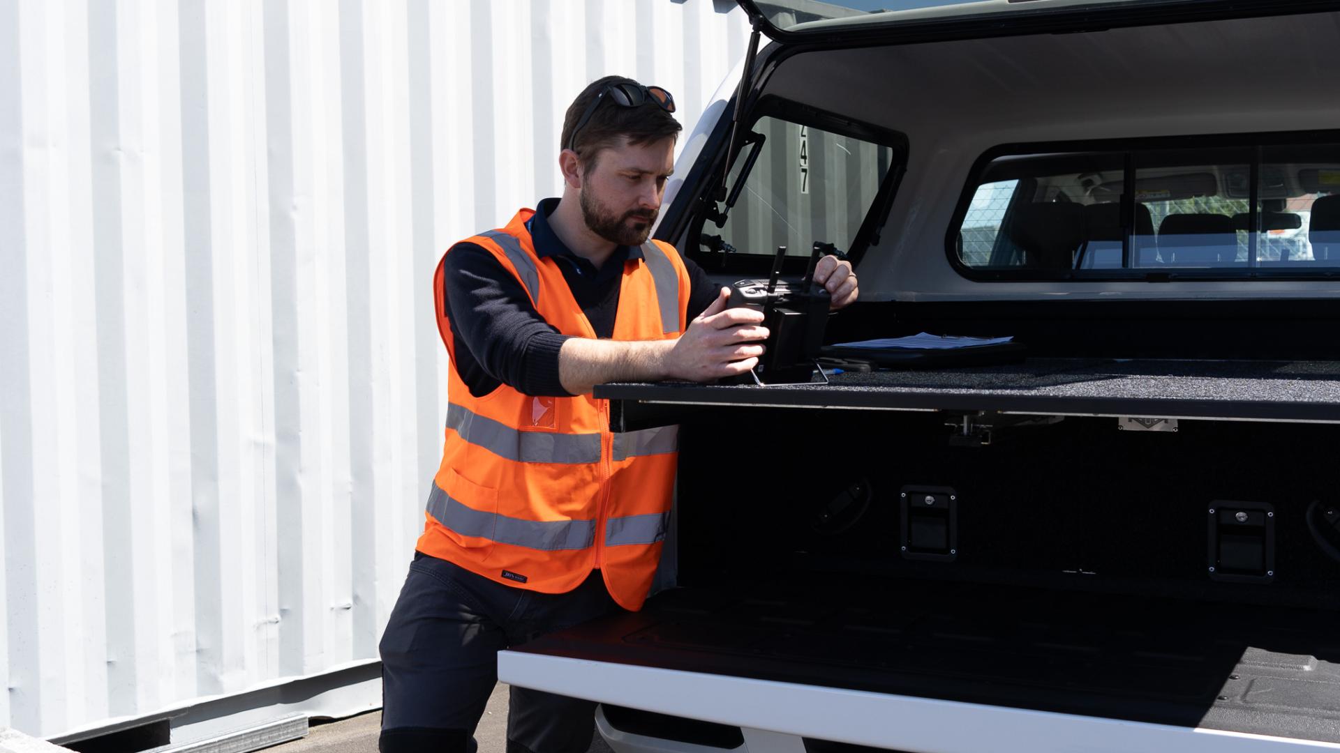
Embrace the power of volumetric surveying to streamline your surveying processes and gain a comprehensive understanding of your terrain like never before.
Volumetric surveying, powered by cutting-edge Unmanned Aerial Vehicles (UAVs), revolutionises the way we capture and analyse aerial data. By employing UAVs equipped with advanced sensors, we can efficiently gather high-resolution imagery and terrain information, which is then processed to create a detailed 3D Digital Twin of the target object or area. This technology enables swift and precise surveys of landscapes, providing invaluable insights for various industries. One of the key applications of volumetric surveying is the accurate measurement of stockpiles, allowing businesses to monitor and manage their inventory with unparalleled precision. Additionally, this approach can identify material discrepancies such as holes or slips in a timely manner, facilitating proactive problem-solving and enhancing overall operational efficiency.
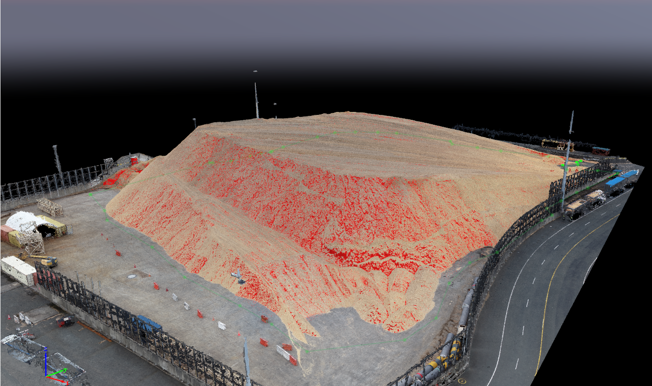
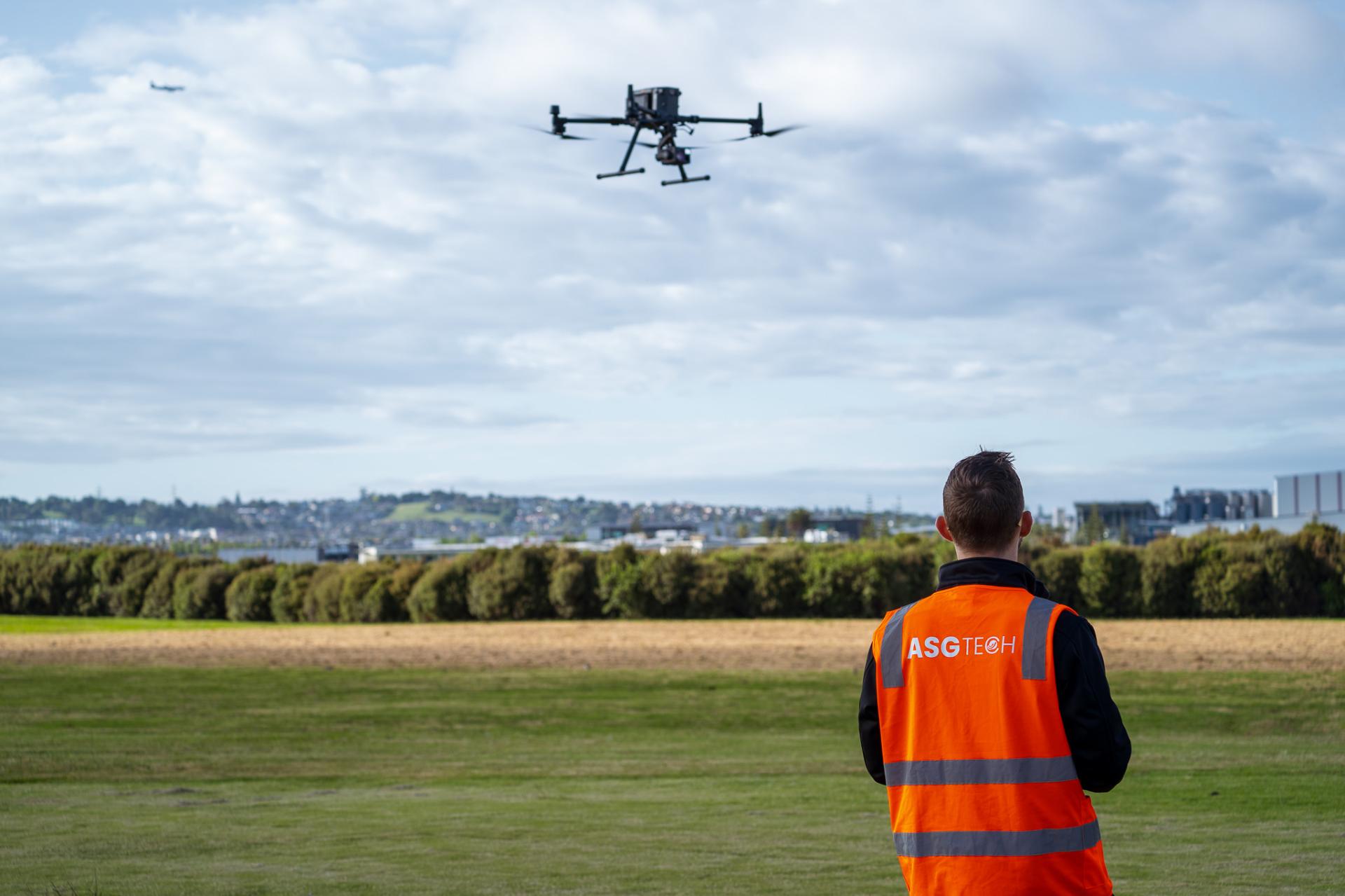
What sets our UAV volumetric surveying services apart is our unique expertise in indoor volumetric surveying. Unlike many others, we excel in overcoming challenges posed by GPS-denied environments and high electromagnetic field (EMF) conditions to ensure precise surveys of indoor objects using UAVs. Our team brings extensive experience in conducting large and complex surveys, covering expansive areas with efficiency and accuracy. We take a meticulous three-step approach—scaling, orientating, and verifying—to achieve optimal real-world versus model accuracy percentages. This commitment to detail and our proficiency in navigating challenging environments make us the ideal choice for comprehensive and accurate volumetric surveys, both indoors and outdoors.
Most importantly, we are a proudly CAA 102 certified business.
Volumetric surveys expedite data collection, enhance survey efficiency, and enable quicker decision-making and project planning by swiftly covering large areas compared to traditional survey methods.
The advanced sensors on UAVs capture high-resolution imagery and terrain data, contributing to a level of precision and accuracy that surpasses conventional surveying techniques.
Eliminate the need for manual data collection in challenging or hazardous environments. Drone surveying reduces risk to personnel who would otherwise navigate difficult terrains or dangerous sites.
Employing drones saves costs in terms of manpower, equipment, and time. The efficiency and speed of drone surveys contribute to significant overall savings, making it a cost-effective solution for businesses.
Drone technology enables instant data processing, which is crucial for time-sensitive operations, allowing swift adjustments to plans or interventions and optimizing decision-making in real time.
Volumetric surveys seamlessly adapt across industries, from mining stockpile monitoring to agriculture crop health assessments – showcasing its value and offering customised solutions for specific surveying needs.
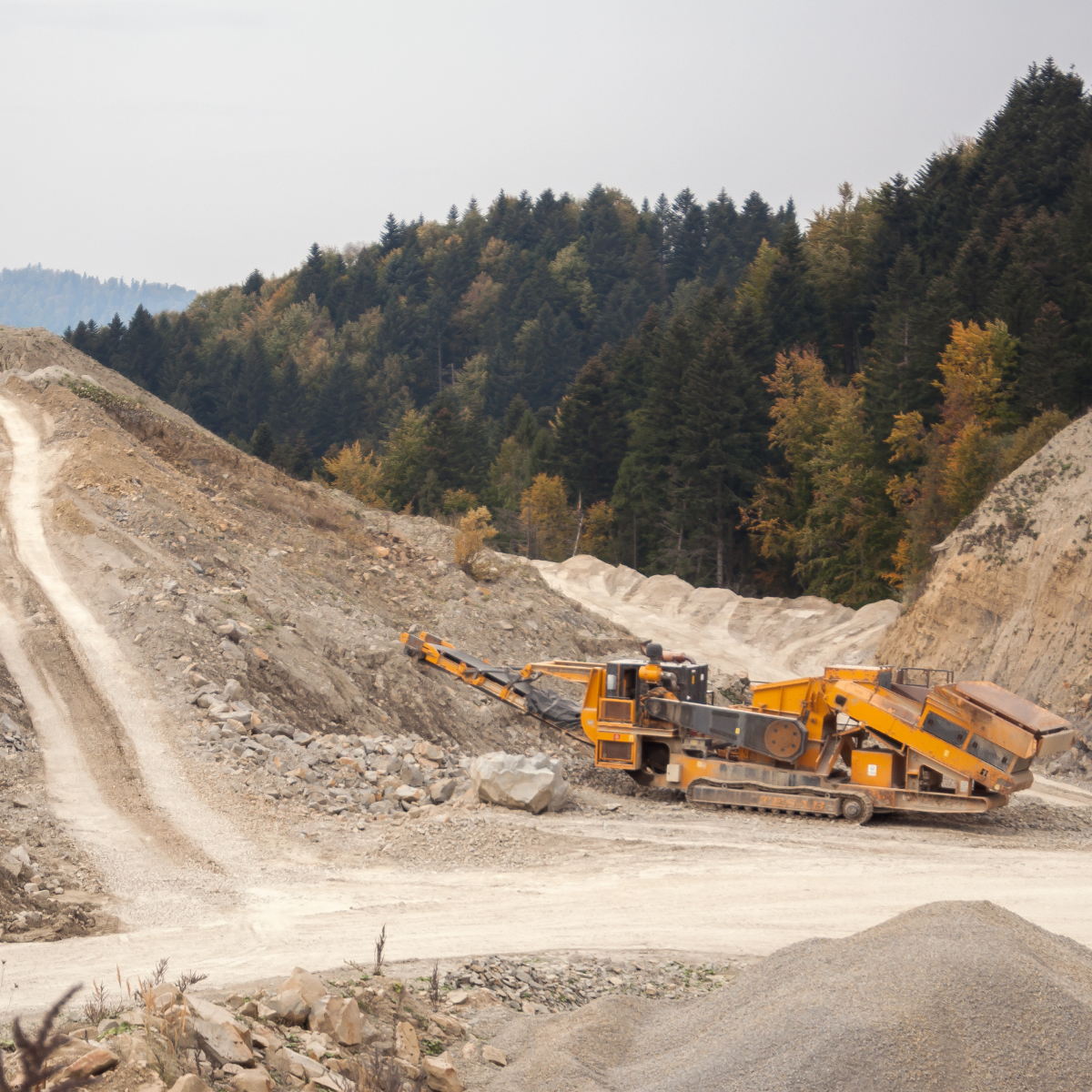
Drones equipped with LiDAR or photogrammetry sensors are used to survey mining and aggregate sites to calculate stockpile volumes, monitor extraction activities, and optimize resource management.

Volumetric surveying helps construction projects by monitoring earthwork activities, cut and fill analysis, and ensuring accurate material quantity estimates. This aids in project management and cost control.

Drones can be employed in precision agriculture to survey fields and calculate crop volumes. This information assists farmers in optimizing irrigation, fertilization, and overall crop management.
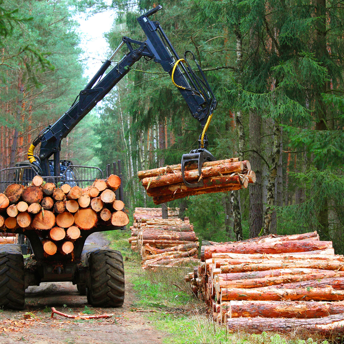
Volumetric surveying with drones is valuable for forestry to assess timber volumes, monitor forest health, and plan sustainable harvesting practices.

Drones are utilized to monitor landfill sites, calculating the volume of waste and aiding in waste management planning and compliance monitoring.

In the aftermath of natural disasters, drones can assess changes in terrain, calculate material volumes in affected areas, and aid in disaster response and recovery efforts. Additionally, thy play a crucial role in environmental monitoring by measuring changes in terrain, monitoring land erosion, and assessing the volume of materials in environmental restoration projects.
With years of experience in the aerial survey domain, ASG Technologies stands as a beacon of expertise and innovation. Our team of dedicated professionals, equipped with the latest technology, is committed to delivering excellence. Our portfolio of successful projects across various industries testifies to our competence and dedication in this space.
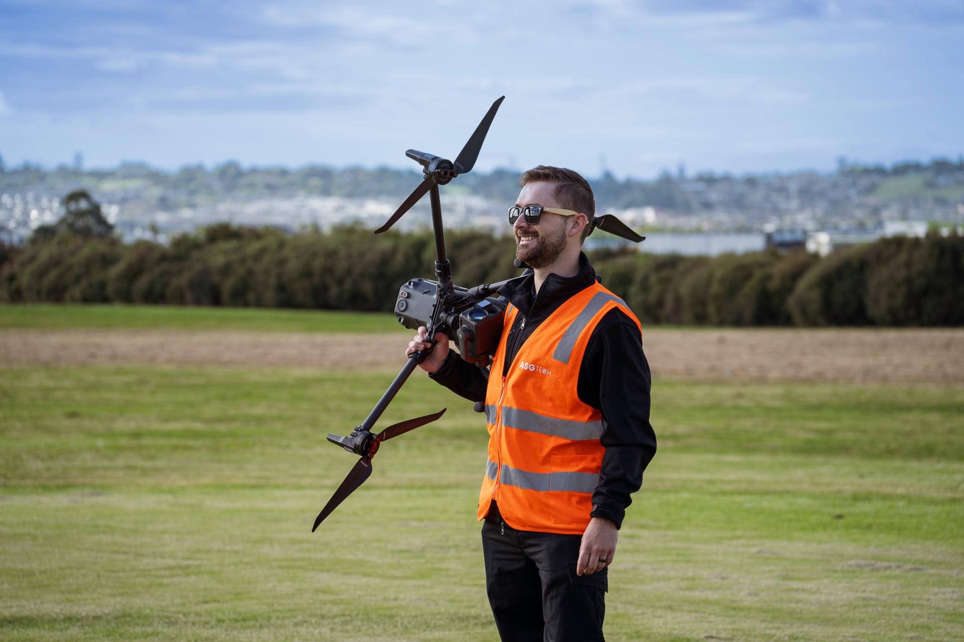
We have the expertise to help. Get in touch with our team today.

Advanced Group
PO Box 12236, Penrose
Auckland 1642, New Zealand
Advanced Group Phone
©2024 Advanced Group. Site by RAZOR Web Design