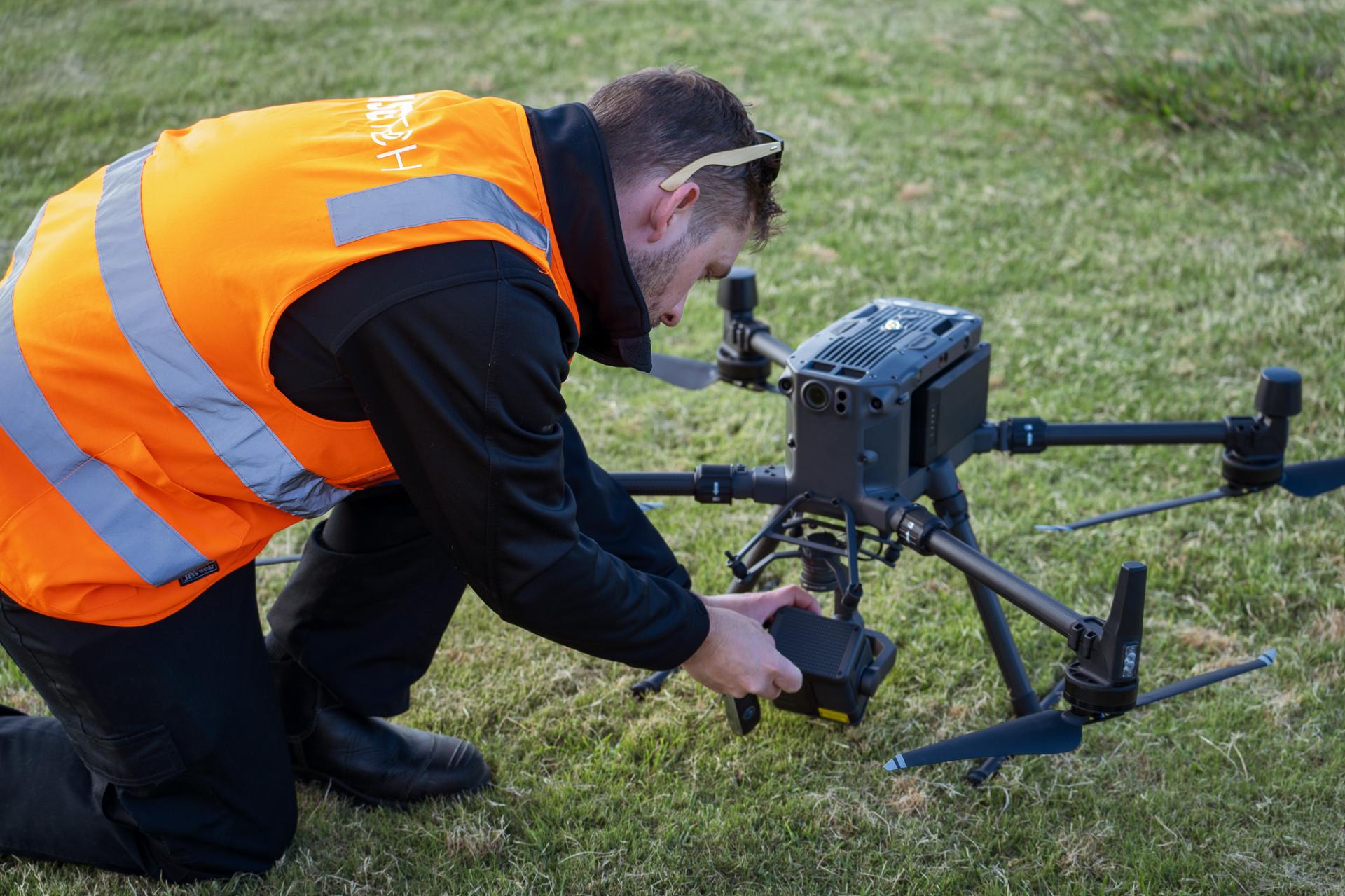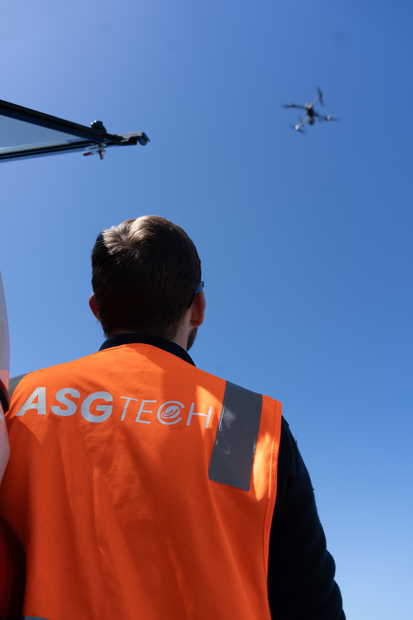
Unmanned Aerial Vehicle (UAV) mapping, also known as drone mapping, refers to the use of drones equipped with specialized cameras and sensors to capture high-resolution imagery and data of an area from the air. The collected data is then processed to create detailed maps, 3D models, or other geospatial representations of the terrain. UAV mapping provides accurate and up-to-date spatial information, enabling better decision-making and analysis in diverse fields.

UAV Mapping offers a multitude of benefits across various industries due to its innovative approach and advanced technology. Some key advantages include:
UAV mapping eliminates the need for expensive manned aircraft or ground-based surveying equipment. Drones are more affordable to operate and maintain, making mapping services more accessible to a wider range of businesses.
Drones can swiftly cover large areas and collect high-resolution imagery and data in a fraction of the time compared to traditional survey methods. This accelerates the mapping process, allowing for quick decision-making and project planning.
UAVs can access challenging or dangerous terrains, such as steep landscapes, dense forests, or disaster-stricken areas, providing valuable data without putting human surveyors at risk.
Equipped with advanced sensors and GPS technology, drones ensure precise data collection, resulting in highly accurate maps and 3D models. This level of accuracy is crucial for industries like construction, agriculture, and environmental monitoring.
UAVs can be tailored to suit diverse mapping needs, from monitoring crop health in agriculture to creating detailed topographic maps for construction projects. The versatility of drone technology makes it adaptable to a wide range of industries and applications.
The collected data can be transformed into detailed maps, 3D models, or point clouds, facilitating in-depth analysis. This aids in better understanding terrain characteristics, identifying patterns, and making informed decisions.

With years of experience in the aerial survey domain, ASG Tech stands as a beacon of expertise and innovation. Our team of dedicated professionals, equipped with the latest technology, is committed to delivering excellence. Our portfolio of successful projects across various industries testifies to our competence and dedication in this space.

We have the expertise to help. Get in touch with our team today.

Advanced Group
PO Box 12236, Penrose
Auckland 1642, New Zealand
Advanced Group Phone
©2024 Advanced Group. Site by RAZOR Web Design