
Environmental surveying using Low Earth Orbit (LEO) satellites involves the use of satellite-based technologies to monitor and collect data on various environmental parameters, processes, and changes on Earth. LEO satellites are particularly well-suited for this purpose due to their unique orbital characteristics, such as frequent revisits and high-resolution imaging capabilities. Environmental surveying with LEO satellites encompasses a range of applications aimed at understanding, managing, and preserving the Earth's ecosystems.

LEO satellites can provide high-resolution images of land cover, vegetation health, and changes in environmental conditions. Businesses in industries such as forestry, mining, and energy can use this data to monitor the impact of their operations on the environment, assess biodiversity, and ensure compliance with environmental regulations. By identifying potential risks and changes early on, you can take proactive measures to mitigate environmental impact and optimize resource management.
LEO satellites have short orbital periods, allowing them to revisit specific areas on Earth more frequently. This capability is crucial for applications requiring near-real-time monitoring, such as disaster response, environmental changes, and dynamic events.
LEO satellites capture high-resolution images, providing detailed and sharp visuals of the Earth's surface. This level of detail is essential for applications like infrastructure development, agriculture, and environmental monitoring, where precision is key for decision-making.
With the deployment of satellite constellations, LEO satellites offer global coverage. This ensures that even remote or inaccessible regions can be monitored, supporting a wide range of applications including environmental conservation, agriculture, and security on a global scale.
LEO satellites can carry a variety of sensors, including optical and non-optical sensors like infrared and radar. This versatility allows for multi-sensor data acquisition, providing insights beyond what is visible to the human eye.
The agility and maneuverability of LEO satellites enable quick adjustments to their orbits. This allows for targeted observations and the ability to respond rapidly to emerging situations, making LEO satellite surveying effective for tasks where timely data collection is critical.
Launching and maintaining satellites in Low Earth Orbit is generally more cost-effective than placing them in higher orbits. The reduced costs make satellite surveying economically viable for businesses, looking to leverage satellite data for various applications without breaking the bank.
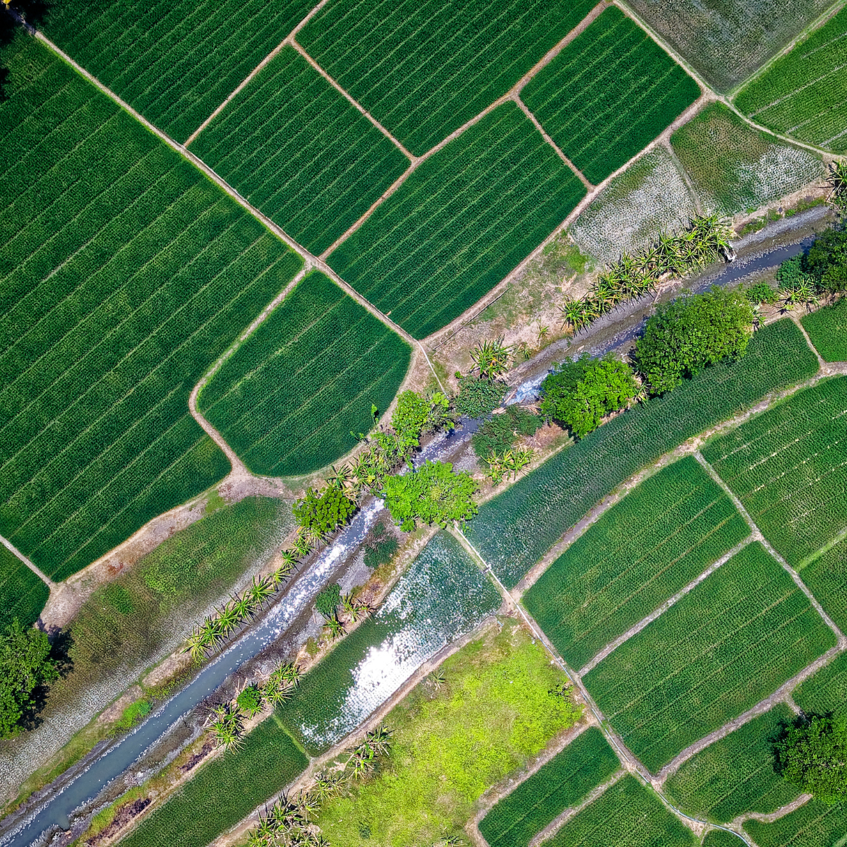
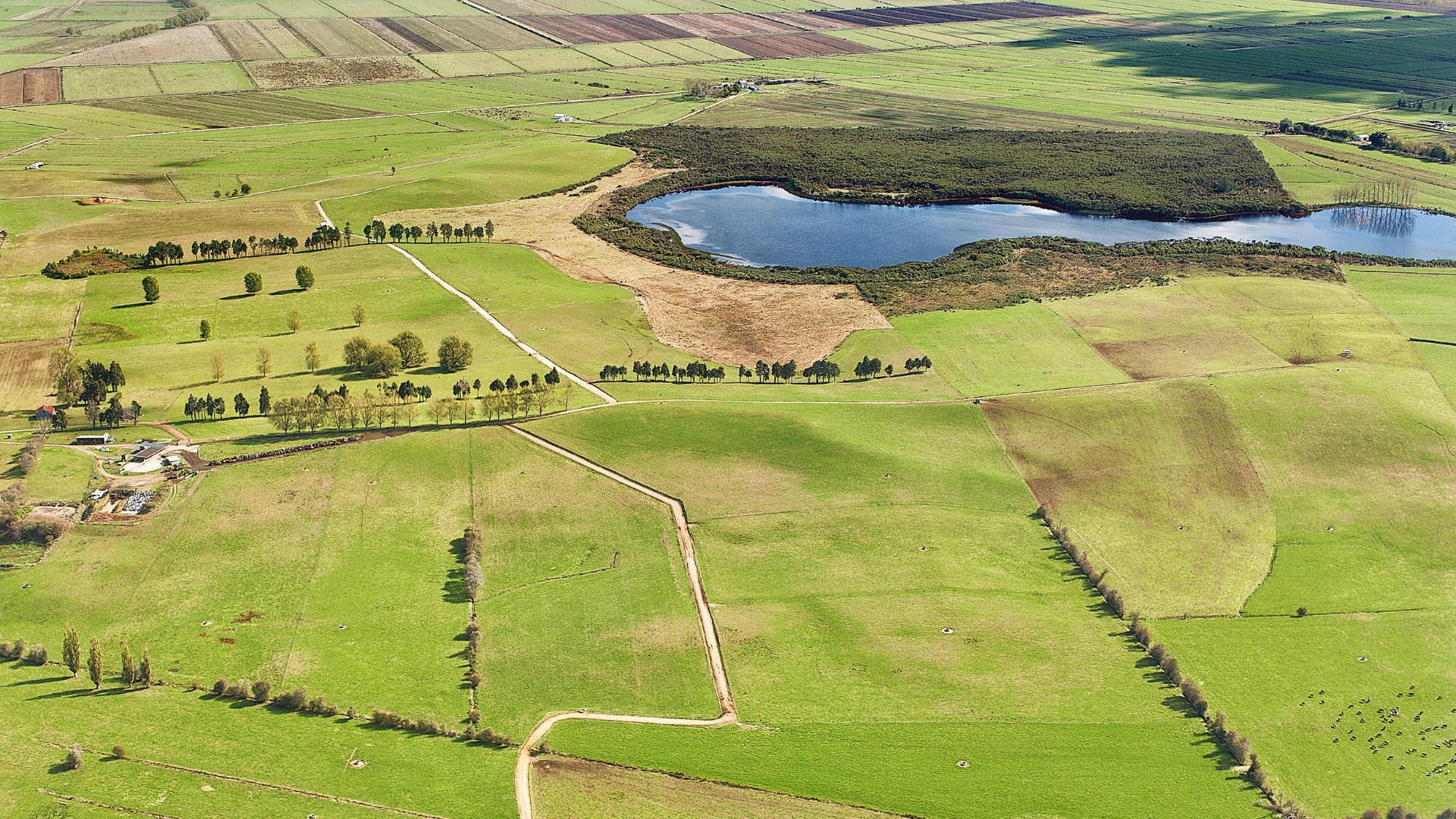
LEO satellite imagery assists in monitoring agricultural land by providing insights into crop health, identifying areas requiring irrigation, and assessing the impact of weather conditions on agricultural productivity. This supports precision agriculture and sustainable land management practices.

LEO satellites can track changes in forest cover over time, helping to monitor deforestation and illegal logging activities. This information is crucial for conservation efforts, sustainable forestry management, and biodiversity preservation.

LEO satellites can detect changes in water quality by analyzing factors such as turbidity, sedimentation, and algal blooms. This information is vital for managing water resources, ensuring safe drinking water, and addressing pollution in rivers, lakes, and coastal areas.

Satellite data from LEO orbits can be used to study the urban heat island effect, where urban areas experience higher temperatures than their surrounding rural areas. Understanding heat patterns is essential for urban planning, climate-resilient infrastructure development, and mitigating the impact of heat-related issues.

Environmental surveying with LEO satellites supports the assessment of wildlife habitats and migration patterns. Monitoring changes in vegetation and land cover helps conservationists identify critical habitats, track wildlife movements, and implement measures to protect endangered species.
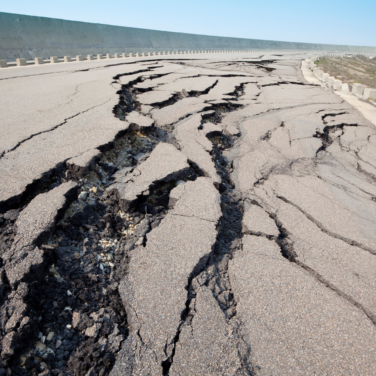
LEO satellites play a crucial role in disaster monitoring, enabling rapid response and recovery efforts. Whether it's monitoring wildfires, floods, or earthquakes, satellite data aids in assessing the extent of damage, coordinating emergency responses, and planning reconstruction activities.
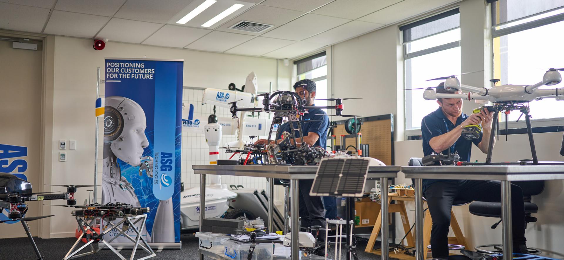
With years of experience in the aerial survey domain, ASG Tech stands as a beacon of expertise and innovation. Our team of dedicated professionals, equipped with the latest technology, is committed to delivering excellence. Our portfolio of successful projects across various industries testifies to our competence and dedication in this space.

We have the expertise to help. Get in touch with our team today.
.svg)
Advanced Group
PO Box 12236, Penrose
Auckland 1642, New Zealand
Advanced Group Phone
©2024 Advanced Group. Site by RAZOR Web Design


.png)
.svg)
.svg)